BRUSSELS, Belgium
Bruxelles, Belgique
Latest News

Brussels: URBiNAT Follower City
Bruxelles: Ville Suiveuse URBiNAT
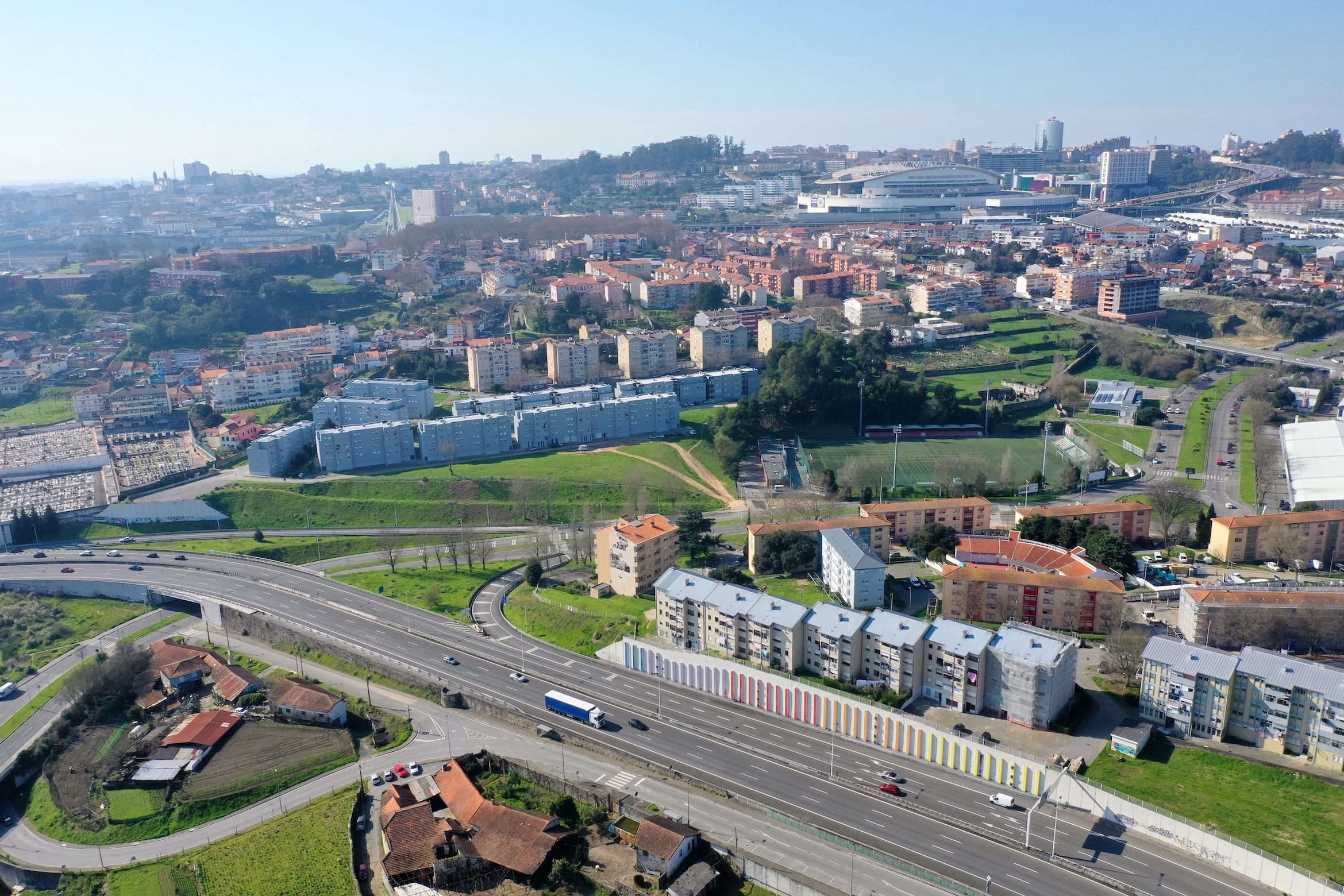
Located in the centre of the country, the City of Brussels was founded around the year 1000. It is densely populated with 176,545 inhabitants over 32.61 km2 and the population continues to grow quite rapidly. The city is composed of different territories that have been gradually linked to it and that are very different from each other in their social composition.
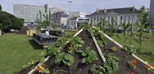
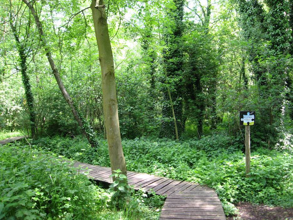
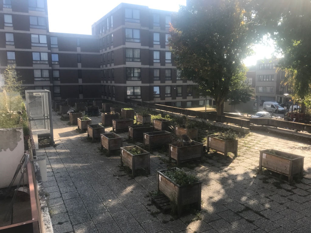
There is an average of 25m2 of green space per inhabitant and an urban forest is developing in the north. This project with others (green facades and roofs, community vegetable gardens and green spaces…) will help to counter the expected effects of climate change-that is, urban heat islands and flooding.
The living lab of Brussels is located in Neder-Over-Heembeek, a peripheral neighborhood with pockets of social housing and green spaces in what was an old Flemish village before its annexation by the municipality of Brussels in 1921. The territory is complex and dynamic, with a variety of lived realities and challenges.
A local diagnostic was conducted from autumn 2019 to autumn 2021 in Neder-Over-Heembeek, with participatory workshops and activities, collection of qualitative and quantitative data, and a regular presence of the URBiNAT team in the neighbourhood. The results of this analysis were reported to the European Commission in a deliverable, which was then synthesised in collaboration with an artist in order to create a colouring map that you can see and download below.
Following this diagnosis, the co-design phase took place in 2022 and 2023, with the aim of co-creating the “local urban plan” for the “Healthy Corridor” and nature-based solutions (NBS) projects. The deliverable submitted to the European Commission was reworked into an educational game called “Cartosaga”, which aims to initiate constructive dialogues on the ground around the city in the making.
Située au centre du pays, la Ville de Bruxelles a été fondée vers l’an 1000. Elle est densément peuplée avec 176.545 habitants sur 32,61 km2 et la population continue à croître assez rapidement. La ville est composée de différents territoires qui lui ont été progressivement liés et qui sont très différents les uns des autres dans leur composition sociale.
Il y a en moyenne 25m2 d’espaces verts par habitant et une forêt urbaine se développe dans le nord. Ce projet avec d’autres (façades et toits verts, jardins potagers communautaires et espaces verts…) contribuera à contrer les effets attendus du changement climatique, c’est-à-dire les îlots de chaleur urbains et les inondations.
Le living lab de Bruxelles est situé à Neder-Over-Heembeek, un quartier périphérique avec des “poches” de logements sociaux et des espaces verts dans ce qui était un ancien village flamand avant son annexion par la municipalité de Bruxelles en 1921. Le territoire est complexe et dynamique, avec une variété de réalités vécues et de défis.
Une analyse partagée du territoire a été réalisée entre l’automne 2019 et l’automne 2021 à Neder-Over-Heembeek, via des ateliers participatifs, des récoltes de données qualitatives et quantitatives, et une présence dans le quartier de l’équipe URBiNAT à Bruxelles. Le résultat de cette analyse fût un livrable rendu à la Commission européenne, qui a été synthétisé en collaboration avec une artiste pour créer une carte à colorier que vous pouvez voir et télécharger ci-dessous.
Suite à ce diagnostic, la phase de co-conception s’est déroulée en 2022 et 2023 avec pour objectif de co-créer le “plan urbain local” pour les projets du « couloir de bien-être » et des solutions fondées sur la nature (NBS). Le livrable soumis à la Commission européenne a été retravaillé en jeu pédagogique intitulé « Cartosaga », qui a pour objectif d’entamer des dialogues constructifs sur le terrain autour de la ville en devenir.
Synthesis of subjective knowledge acquired through shared analysis of the area
Coloring map - Neder-Over-Heembeek - The Present
To download coloring map - Neder-Over-Heembeek - The Present: Click HERE
Projection into the future of the district, with an invitation to project oneself into new drawings
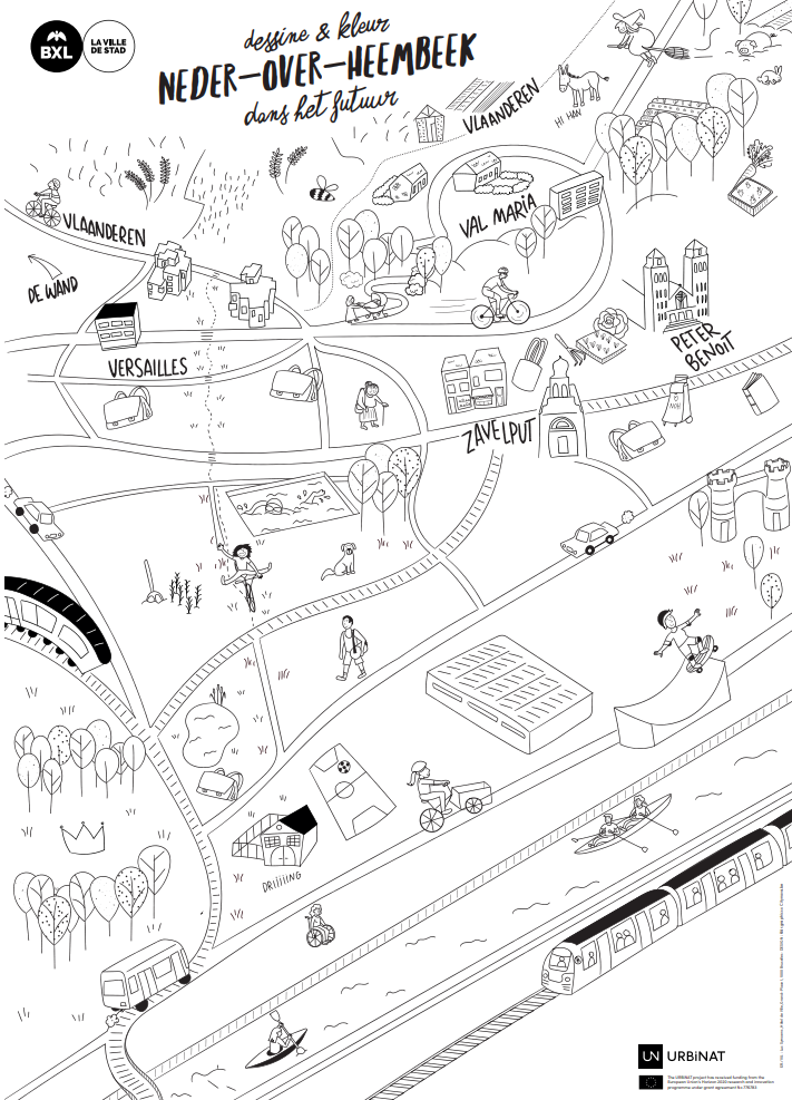
Coloring map - Neder-Over-Heembeek - The Future
To download coloring map - Neder-Over-Heembeek - The Future: Click HERE
Synthèse des connaissances subjectives acquises dans l’analyse partagée du territoire
Carte à colorier - Neder-Over-Heembeek - Le présent
Pour télécharger la carte à colorier - Neder-Over-Heembeek - Le présent: Cliquer ICI
Projection dans le futur du quartier, avec une invitation à se projeter dans de nouveaux dessins
Carte à colorier - Neder-Over-Heembeek - Le future
Pour télécharger la carte à colorier - Neder-Over-Heembeek - Le future: Cliquer ICI
Experiments and tools
Des expérimentations et des outils
The participatory process of URBiNAT has given rise to several pilot projects (non-exhaustive list):
- A subjective cartography presenting the results of the shared analysis of the territory (drawn by Claire Allard): NOH map present / NOH map future
- Field work tools: the “ludomobile” (in collaboration with AMO de NOH), the “mobile islands” (created by the Frères Poulet), and the “rolling object” (created by the HqT collective), to be (re)discovered in the district.
Le processus participatif expérimenté dans le cadre d’URBiNAT a donné lieu à plusieurs projets pilotes (liste non-exhaustive) :
- Une cartographie subjective dessinée présentant les résultats de l’analyse partagée du territoire (dessinée par Claire Allard): NOH carte actuelle / NOH carte future
- Des outils de travail de terrain : la « ludomobile » (en collaboration avec l’AMO de NOH), les « îles mobiles » (créés par les Frères Poulet), et « l’objet roulant » (créé par le collectif HqT), à (re)découvrir dans le quartier
- An awareness-raising card game, ‘Cartosaga’, presenting some of the projects underway in Neder-Over-Heembeek (by Sophie Le Grelle and Samuel Macsai)
- Tailor-made support for cycling initiatives in Neder-Over-Heembeek in 2022, with a focus on equipping local women, and in particular the ‘Vers’ailes’ collective (by the ipé and Cyclo collective)
- A new map of cycle routes in NOH, featuring new themed walks in Neder-Over-Heembeek and Mutsaard.
- Un jeu de cartes de sensibilisation, « Cartosaga », présentant certains des projets en cours à Neder-Over-Heembeek (par Sophie Le Grelle et Samuel Macsai)
- Un accompagnement « à la carte » des dynamiques vélos à Neder-Over-Heembeek en 2022, avec un focus sur l’outillage de femmes* du quartier, et en particulier le collectif « Vers’ailes » (par le collectif ipé et Cyclo)
- Une nouvelle carte de balades à Neder-Over-Heembeek qui met en avant de nouvelles balades thématiques à Neder-Over-Heembeek et Mutsaard
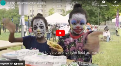
URBiNAT: The Healthy Corridor Story
URBiNAT: L'Histoire d'un "Couloir de Bien-Être"
SUBTITLES: Click the CC at the bottom of the Video for subtitles in Bulgarian, Danish, Dutch, English, French, Italian or Portuguese
SOUS-TITRES : Cliquez sur le CC au bas de la vidéo pour obtenir des sous-titres en bulgare, danois, néerlandais, anglais, français, italien ou portugais