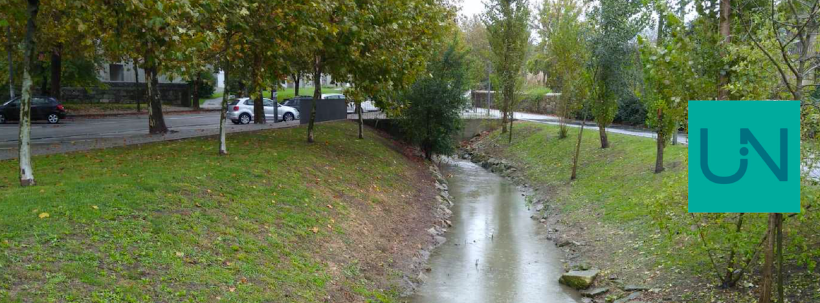
Visualise URBiNAT Healthy Corridors of Porto, Nantes Nord and Høje-Taastrup
Interactive maps, powered by GIS technology, allow you to delve into the URBiNAT Healthy Corridor co-created in our Frontrunner cities Porto and Nantes and our Follower city Høje-Taastrup.
Layers visualize the project’s intervention area, along with the various Nature-Based Solutions (NBS) co-created throughout the initiative. Navigate the map and discover how these NBS elements contribute to a healthier and more sustainable urban environment.